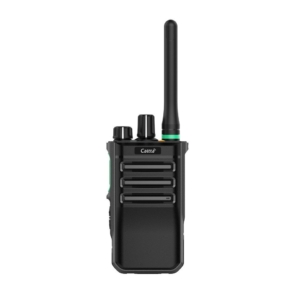
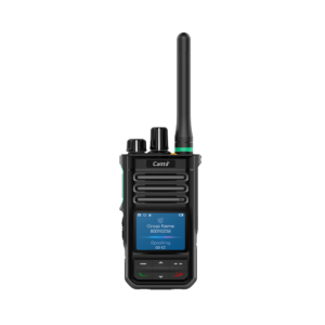
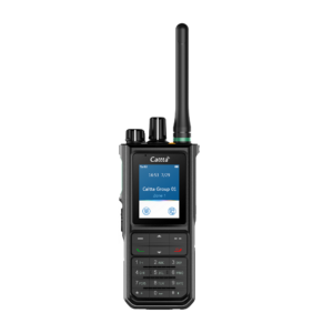
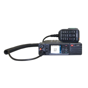
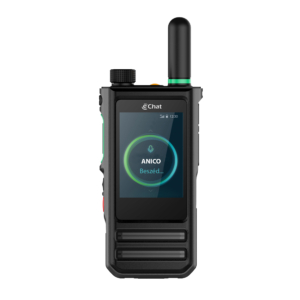
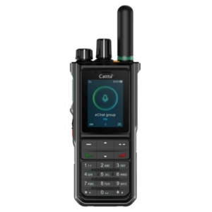
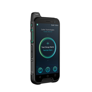
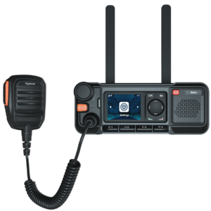
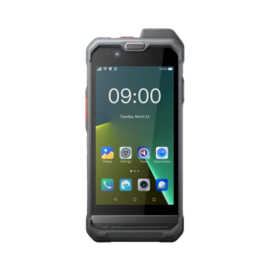
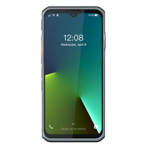
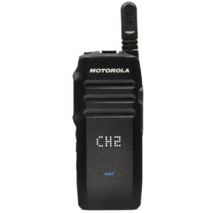
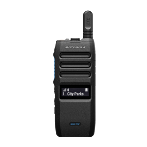
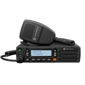
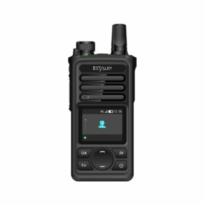
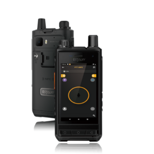
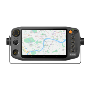
A key element of communication solutions that use dispatching systems is the accurate location of users and their devices. Today, this is not only achieved by relying on GPS satellite data, but also by integrating multiple positioning systems.
It is important to emphasise that the accuracy of the positioning data and the representation of the device on the map does not depend on the dispatching software itself, but on the device that performs the positioning. This could be a transceiver, a smartphone or even a tablet. In this blog post, we will describe the systems and data that make modern positioning possible for transceivers with GPS.

About A-GPS
GPS satellite positioning is the most common navigation system known to most people. But the accuracy and speed of positioning is backed up by another technology. This technology is A-GPS, which acts as a complementary system to GPS.
A-GPS can be particularly beneficial if enabled on the transceiver, as it can significantly speed up positioning. However, it should be noted that its operation may generate increased data traffic.
A-GPS, also known as Assisted GPS, is a technology that improves the accuracy and speed of GPS positioning. This is achieved by using mobile network data in addition to GPS data to determine the location. This is particularly useful in places where GPS satellite signals are weak or unavailable, such as in cities, inside buildings or under dense vegetation.
Why is it beneficial to turn on A-GPS on our transceivers?
- Faster positioning: A-GPS is able to determine the exact position faster because the mobile network or other terrestrial infrastructure helps the device to download data faster.
- Greater accuracy: a combination of ground stations and satellites can provide more accurate position data, especially in urban environments where buildings can block satellite signals.
- Improved coverage: indoors, in urban environments or in wooded areas, traditional GPS has a harder time finding satellites, while A-GPS can help you determine your position based on cellular networks or other data.
- Less power consumption: because A-GPS determines position faster, the device uses the GPS receiver for a shorter time, reducing battery drain.
- Faster cold start: with traditional GPS, downloading satellite data can take up to several minutes, while with A-GPS, the necessary information is available from a network source, so positioning can start faster.
These advantages are particularly important for transceivers used in emergency situations, military applications or industrial environments where fast and reliable positioning can be critical.
A-GPS works as follows:
The A-GPS device first determines an approximate position based on cellular network information. This is faster than conventional GPS, which needs more time to process satellite signals.
The device downloads the current satellite position data from the service provider's server via the mobile network. This data includes satellite orbital data and timing information to help you pinpoint your position.
The device then uses the downloaded auxiliary data and the signals from the GPS satellites to pinpoint your position. This process is much faster than traditional GPS because the auxiliary data helps the device find satellites and determine the exact position more quickly.
A-GPS and precise positioning in PoC transceivers, smart devices
Handheld PoC transceivers used in cars without A-GPS have often lost position, especially in streets surrounded by tall buildings where GPS signals are poorer. As a result, dispatchers did not always see patrols where they actually were. This problem can be solved by A-GPS, which can be activated within the PoC system.
In addition, the "Send more accurate location data" feature available on each transceiver also improves the accuracy of the location, providing the dispatcher with more reliable and real-time updated location data. With this in mind, it is recommended to use a mobile transceiver with an external GPS antenna when using a PoC transceiver in a fixed vehicle. Accurate position transmission will therefore not be inaccurate due to a fault, in the PoC application used, but due to the settings of the transceiver.
Here we would like to mention the settings for smartphones and tablets, as you can use a PoC transceiver application on an Android or iOS phone. So it is worth setting up the positioning function on the phone carefully. On iOS it is not really possible to change the GPS-GNSS functions, but on Android it is.
If you only choose GPS positioning, your phone will only work from the satellite signals. However, if you choose the exact position, it will use Bluetooth, Wi-Fi and A-GPS data.

What does sending accurate and inaccurate positions looks like in practice?
Here are some real-life events!
While searching for a missing person, members of a search team used the ANIPOC POC application to communicate. The app was installed on three smartphones and was used to keep in touch with each other and record the route taken. At the end of the walk in the area, it was discovered that one of the Android devices had jumped off the route at several points, giving inaccurate positions. As it turned out, the phone did not have precise positioning turned on, so in the case of a weak satellite signal, the device had erroneously jumped further away from the current location

Whereas on devices where the exact GPS position was turned on, you got an accurate route by looking back at the route on the map.

For this task, it was of paramount importance to accurately record the route taken, so that other teams would not waste time searching areas that others had already covered. Learning from this, we should never rely on the default settings of mobile phones in such cases, but always check the accuracy settings of the positioning. When using PoC transceivers, the system administrator can enable more accurate localisation.
What else can we do to increase the accuracy of location?
In short: GNSS-enabled transceivers and smartphones. In recent years, several countries and economic areas have set up their own positioning systems. The GNSS is the sum of these.
The main difference between GNSS (Global Navigation Satellite System) and GPS (Global Positioning System) is that the former is a general term that covers several global navigation satellite systems, while GPS is a specific system developed in the United States.
GNSS systems:
- GPS (USA)
- GLONASS (Russia)
- Galileo (European Union)
- BeiDou (China)
GNSS-enabled devices can receive signals from multiple satellite systems, resulting in greater accuracy and reliability. In contrast, GPS devices only use signals from US GPS satellites.
Newer mobile devices can not only work with data from a single satellite system, but can even work together to give devices an even more accurate position.
So, what’s the lesson?
Setting up A-GPS and sending accurate location data on your transceivers is key to reliable positioning. When using smartphones and other smart devices, it is also important to set the location functions correctly. For example, iOS has limited options, while Android gives you more freedom to adjust GPS and GNSS functions.
The blog post also presents a real-life example where accurate location was key to the research. The lesson of the case is that ensuring accurate positioning requires not only the right app, but also careful control of the devices and their settings. GNSS-compatible devices and various global navigation systems (e.g. GPS, GLONASS, Galileo, BeiDou) provide additional accuracy and reliability, making modern positioning even more accurate.
If you are also interested in our DMR or PoC transceivers or dispatching services and would like to learn more about them, please contact us. We offer a free trial period and professional advice, so you can even test the systems we sell and develop on the job.

